![](/images/other/stat-length.png)
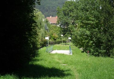
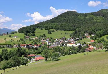
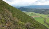
![Randonnée A pied Gemeinde Ternitz - Sieding - Hintenburg - Richtung St. Johann - Photo](https://media.geolcdn.com/t/1900/400/6126a14e-29af-4403-af52-30c8a8469a69.jpeg&format=pjpeg&maxdim=2)
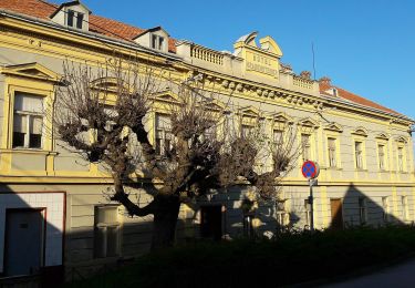
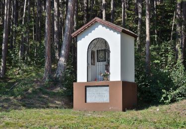
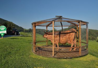
Sieding - Hintenburg - Richtung St. Johann
SityTrail - itinéraires balisés pédestres
Tous les sentiers balisés d’Europe GUIDE+
![Longueur](/images/other/stat-length.png)
Longueur
3,8 km
![Altitude max](https://static1.geolcdn.com/siteimages/upload/files/1508320355ic_sort_altitude_max_24dp.png)
Altitude max
525 m
![Dénivelé positif](https://static1.geolcdn.com/siteimages/upload/files/1508320355ic_sort_den_pos_24dp.png)
Dénivelé positif
137 m
![Km-Effort](/images/other/stat-length.png)
Km-Effort
5,4 km
![Altitude min](https://static1.geolcdn.com/siteimages/upload/files/1508320355ic_sort_altitude_min_24dp.png)
Altitude min
442 m
![Dénivelé négatif](https://static1.geolcdn.com/siteimages/upload/files/1508320355ic_sort_den_neg_24dp.png)
Dénivelé négatif
84 m
![Boucle](https://static1.geolcdn.com/siteimages/upload/files/16400158638029165_repeat_loop_refresh_sync_direction_icon.png)
Boucle
Non
Balise
Date de création :
2022-02-16 16:49:54.785
Dernière modification :
2022-03-03 12:41:12.153
![A pied](https://static1.geolcdn.com/sitytour/trail-icons/100.png)
1h13
Difficulté : Facile
![Scannez ce code QR pour ouvrir la randonnée dans l'application SityTrail](https://capi.geolives.com/qq0zvz2zws4bq2lad0pu/sitytour/trails/3128022/qr.png?size=200)
Application GPS de randonnée GRATUITE
À propos
Randonnée A pied de 3,8 km à découvrir à Basse-Autriche, Bezirk Neunkirchen, Gemeinde Ternitz. Cette randonnée est proposée par SityTrail - itinéraires balisés pédestres.
Description
Randonnée créée par Österreichischer Touristenklub, Sektion Ternitz.
Symbole: roter, waagrechter Balken
Localisation
Pays :
Autriche
Région :
Basse-Autriche
Département/Province :
Bezirk Neunkirchen
Commune :
Gemeinde Ternitz
Localité :
Unknown
Départ:(Dec)
Départ:(UTM)
573296 ; 5287522 (33T) N.
Commentaires
Randonnées à proximité
![Randonnée A pied Gemeinde Ternitz - Schlosserei Reiterer Runde](https://media.geolcdn.com/t/375/260/10fd8f5b-ce4d-4f6b-b949-853b29563d8b.jpeg&format=jpg&maxdim=2)
![A pied A pied](https://static1.geolcdn.com/sitytour/trail-icons/100.png)
Schlosserei Reiterer Runde "Flatz Runde" (bei Ternitz)
A pied
Facile
Gemeinde Ternitz,
Basse-Autriche,
Bezirk Neunkirchen,
Autriche
![](/images/other/stat-length.png)
7 km | 9,4 km-effort
2h 8min
![](https://static1.geolcdn.com/siteimages/upload/files/16400158638029165_repeat_loop_refresh_sync_direction_icon.png)
Oui
![Randonnée A pied Gemeinde Ternitz - Runnersfun Runde](https://media.geolcdn.com/t/375/260/0ff9c439-8eff-48b2-97d3-d65799d7dcaf.jpeg&format=jpg&maxdim=2)
![A pied A pied](https://static1.geolcdn.com/sitytour/trail-icons/100.png)
Runnersfun Runde "Gfieder Runde" (bei Ternitz)
A pied
Facile
Gemeinde Ternitz,
Basse-Autriche,
Bezirk Neunkirchen,
Autriche
![](/images/other/stat-length.png)
10,5 km | 13,4 km-effort
3h 3min
![](https://static1.geolcdn.com/siteimages/upload/files/16400158638029165_repeat_loop_refresh_sync_direction_icon.png)
Non
![Randonnée A pied Gemeinde Ternitz - Löffler Runde](https://media.geolcdn.com/t/375/260/34e880bc-6d26-46ab-9337-6a350da743eb.jpeg&format=jpg&maxdim=2)
![A pied A pied](https://static1.geolcdn.com/sitytour/trail-icons/100.png)
Löffler Runde "Kalvarienberg Runde" (bei Ternitz)
A pied
Facile
Gemeinde Ternitz,
Basse-Autriche,
Bezirk Neunkirchen,
Autriche
![](/images/other/stat-length.png)
3,9 km | 5,1 km-effort
1h 9min
![](https://static1.geolcdn.com/siteimages/upload/files/16400158638029165_repeat_loop_refresh_sync_direction_icon.png)
Oui
![Randonnée A pied Gemeinde Ternitz - Sieding - Thann - Steinfelderhütte - Bürschhof - Photo](https://media.geolcdn.com/t/375/260/ba965a6a-5192-46cb-a2f1-8f344efad633.jpeg&format=jpg&maxdim=2)
![A pied A pied](https://static1.geolcdn.com/sitytour/trail-icons/100.png)
Sieding - Thann - Steinfelderhütte - Bürschhof
A pied
Facile
Gemeinde Ternitz,
Basse-Autriche,
Bezirk Neunkirchen,
Autriche
![](/images/other/stat-length.png)
9,3 km | 18,1 km-effort
4h 7min
![](https://static1.geolcdn.com/siteimages/upload/files/16400158638029165_repeat_loop_refresh_sync_direction_icon.png)
Non
![Randonnée A pied Gemeinde Prigglitz - Gahnshauswiese - Obertal - Photo](https://media.geolcdn.com/t/375/260/3043de55-ce89-465c-a227-8b9430716d9f.jpeg&format=jpg&maxdim=2)
![A pied A pied](https://static1.geolcdn.com/sitytour/trail-icons/100.png)
Gahnshauswiese - Obertal
A pied
Facile
Gemeinde Prigglitz,
Basse-Autriche,
Bezirk Neunkirchen,
Autriche
![](/images/other/stat-length.png)
4,5 km | 8,1 km-effort
1h 50min
![](https://static1.geolcdn.com/siteimages/upload/files/16400158638029165_repeat_loop_refresh_sync_direction_icon.png)
Non
![Randonnée A pied Gemeinde Prigglitz - Rote Wand Rundweg - Photo](https://media.geolcdn.com/t/375/260/b6683f38-3588-4711-b885-5e4001427d2d.jpeg&format=jpg&maxdim=2)
![A pied A pied](https://static1.geolcdn.com/sitytour/trail-icons/100.png)
Rote Wand Rundweg
A pied
Facile
Gemeinde Prigglitz,
Basse-Autriche,
Bezirk Neunkirchen,
Autriche
![](/images/other/stat-length.png)
9,1 km | 17 km-effort
3h 52min
![](https://static1.geolcdn.com/siteimages/upload/files/16400158638029165_repeat_loop_refresh_sync_direction_icon.png)
Oui
![Randonnée A pied Gemeinde Prigglitz - Pottschacher Hütte Rundweg - Photo](https://media.geolcdn.com/t/375/260/9f3e92ab-fa3c-4a39-8314-02e1775508fa.jpeg&format=jpg&maxdim=2)
![A pied A pied](https://static1.geolcdn.com/sitytour/trail-icons/100.png)
Pottschacher Hütte Rundweg
A pied
Facile
Gemeinde Prigglitz,
Basse-Autriche,
Bezirk Neunkirchen,
Autriche
![](/images/other/stat-length.png)
5 km | 8,9 km-effort
2h 1min
![](https://static1.geolcdn.com/siteimages/upload/files/16400158638029165_repeat_loop_refresh_sync_direction_icon.png)
Oui
![Randonnée A pied Gemeinde Prigglitz - Pfarra Rundweg - Photo](https://media.geolcdn.com/t/375/260/48e33944-a6aa-42c9-8ef5-495ae2e6502d.jpeg&format=jpg&maxdim=2)
![A pied A pied](https://static1.geolcdn.com/sitytour/trail-icons/100.png)
Pfarra Rundweg
A pied
Facile
Gemeinde Prigglitz,
Basse-Autriche,
Bezirk Neunkirchen,
Autriche
![](/images/other/stat-length.png)
4,9 km | 7,1 km-effort
1h 37min
![](https://static1.geolcdn.com/siteimages/upload/files/16400158638029165_repeat_loop_refresh_sync_direction_icon.png)
Oui
![Randonnée A pied Gemeinde Prigglitz - Rundweg Silbersberg - Photo](https://media.geolcdn.com/t/375/260/0a1537ce-8b15-439a-80c7-cc965de28ab2.jpeg&format=jpg&maxdim=2)
![A pied A pied](https://static1.geolcdn.com/sitytour/trail-icons/100.png)
Rundweg Silbersberg
A pied
Facile
Gemeinde Prigglitz,
Basse-Autriche,
Bezirk Neunkirchen,
Autriche
![](/images/other/stat-length.png)
3,4 km | 4,3 km-effort
59min
![](https://static1.geolcdn.com/siteimages/upload/files/16400158638029165_repeat_loop_refresh_sync_direction_icon.png)
Oui